Potete muovervi sulla mappa usando le frecce o trascinando la mappa con il mouse, usare lo zoom cliccando sul + o sul - sulla sinistra della mappa e le opzioni "mappa" "satellite" o "ibrida" per cambiare il tipo di visualizzazione.
Se non visualizzi correttamente i punti sulla mappa scarica la versione gratuita e aggiornata di uno dei seguenti browser: Mozilla Firefox, Microsoft Internet Explorer, Google Chrome
Legenda:
 Hotel
Hotel Bed & Breakfast
 Agriturismi
 Residence
 Albergo
 Centro turistico
 Case vacanza
 Ostello
 Camping
 Rifugio
 Garnì
Garnì- Affittacamere
 Motoraduno
Strutture nelle vicinanze di La Rosière
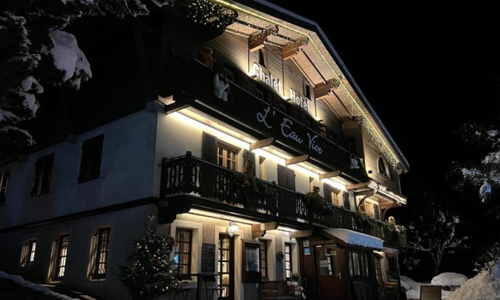
CHALET APPART'HOTEL L'EAU VIVE
Saint Nicolas la Chapelle, 57 place du village, Franciadistanza 43.6 km
Au cœur du Val d’Arly, poussez la porte du chalet l’Eau Vive, niché dans un typique village savoyard au centre de St Nicolas la Chapelle.


CAMPING TUNNEL INTERNATIONAL
Etroubles, Rue Chevrières, 4, Italiadistanza 47.2 km
Nel cuore delle montagne della Valle d'Aosta, a due passi dalla Svizzera, soleggiato e circondato da cime che superano i 3000 m